What is LiDAR?
LiDAR (Light Detection and Ranging) is a remote sensing technology that uses laser pulses to measure distances with exceptional accuracy. When mounted to a drone, LiDAR enables rapid data collection over large or hard-to-reach areas – generating dense, 3D point clouds and detailed terrain models.
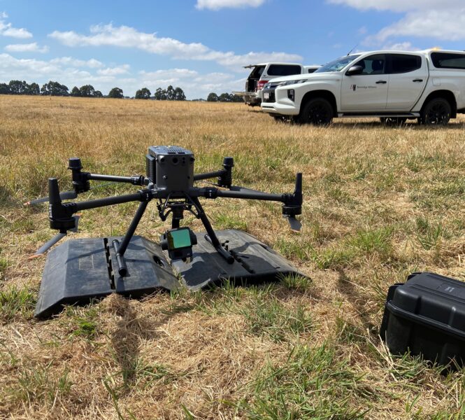
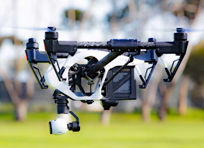
Our aerial LiDAR surveying service – powered by the DJI Matrice 350 RTK and Zenmuse L1 sensor – provides high-resolution topographic data for engineering, planning, and design applications.