The desalination plant is the largest addition to Melbourne's water system since the Thomson River Dam was completed in 1983.
- Thiess/Nacap (Joint Venture)
Overview
The Victorian Desalination Plant is a water desalination plant on the Bass Coast in southern Victoria. The desalination plant is the largest addition to Melbourne’s water system since the Thomson River Dam was completed in 1983. The plant has a guaranteed production capacity of 150 billion litres of water a year.
Beveridge Williams was proud to have been involved in the Victorian Desalination Project from inception to completion. The project required survey work on a massive scale in a very dynamic environment. Initial works were on behalf of the State Government to define the plant site and create the 84 km easement corridor required to provide the electricity supply and water connects for the plant. This necessitated the re-establishment of all title boundaries affected by the plant site and corridor and the creation of registrable easement plans for each parcel. Several parcels required formal subdivision for acquisition purposes. There was also the need to create new parcels to define the land, in stratum, occupied by the inlet and outlet structures off shore. A level survey and feature survey was undertaken of the plant site and surrounding flood plan and the entire easement corridor for preliminary design purposes.
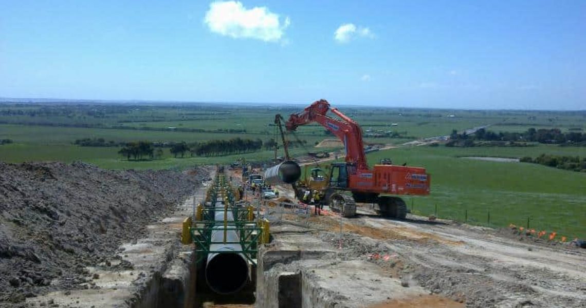
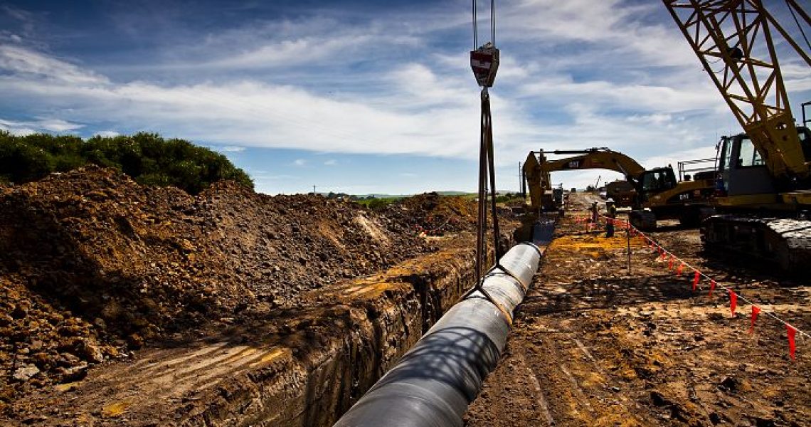
On commencement of construction, Beveridge Williams was engaged to provide the survey services required to enable the construction of the delivery pipe and high voltage underground power supply along the easement corridor. This included the establishment of a network of control marks to support construction along the entire route, a detailed feature survey of the route for final engineering design purposes, marking out the position of the easement and works corridor for fencing, marking out the alignment of the power supply for construction and all associated power infrastructure, setting out the position and design height of the 1920mm delivery pipeline and the associated infrastructure, setting out and control for the tunnelling machines that bored under Rivers and major water courses, recording and suppling ‘as built’ data, surface modelling and set out for reinstatement works and post construction support for repairs and maintenance.
The project was delivered by utilising the most up to date survey total station and GPS equipment available. This allowed much greater flexibility and speed in the provision of our service and gave us the versatility to be able to cope with a very dynamic works program. Our methodology and utilisation of the survey equipment allowed us to maintain a ‘virtual’ design alignment that could be set out anywhere along the corridor without the need to physically position a target or instrument at that location. This was an absolute necessity to achieve response times expected and to be able to satisfy the high standards of OHS maintained on the project. All pipe laying activities could be achieved to a high degree of accuracy without the need to have anybody in a trench or near a pipe being laid. The short time frame for the works program and unusually poor weather conditions meant that work sites had to be relocated with little notice and many construction activities had to be undertaken concurrently to maintain the progress of the construction program. The survey equipment and methodology used made it possible to deliver our service without any delay to the project in very difficult circumstances. The scale and short time frame for construction of the project introduced a logistical complexity well beyond the technical aspects of the project.

