The Ivy Precinct
Services Deployed:
Related Contacts


Paul Wallis
National Manager SUI
Overview
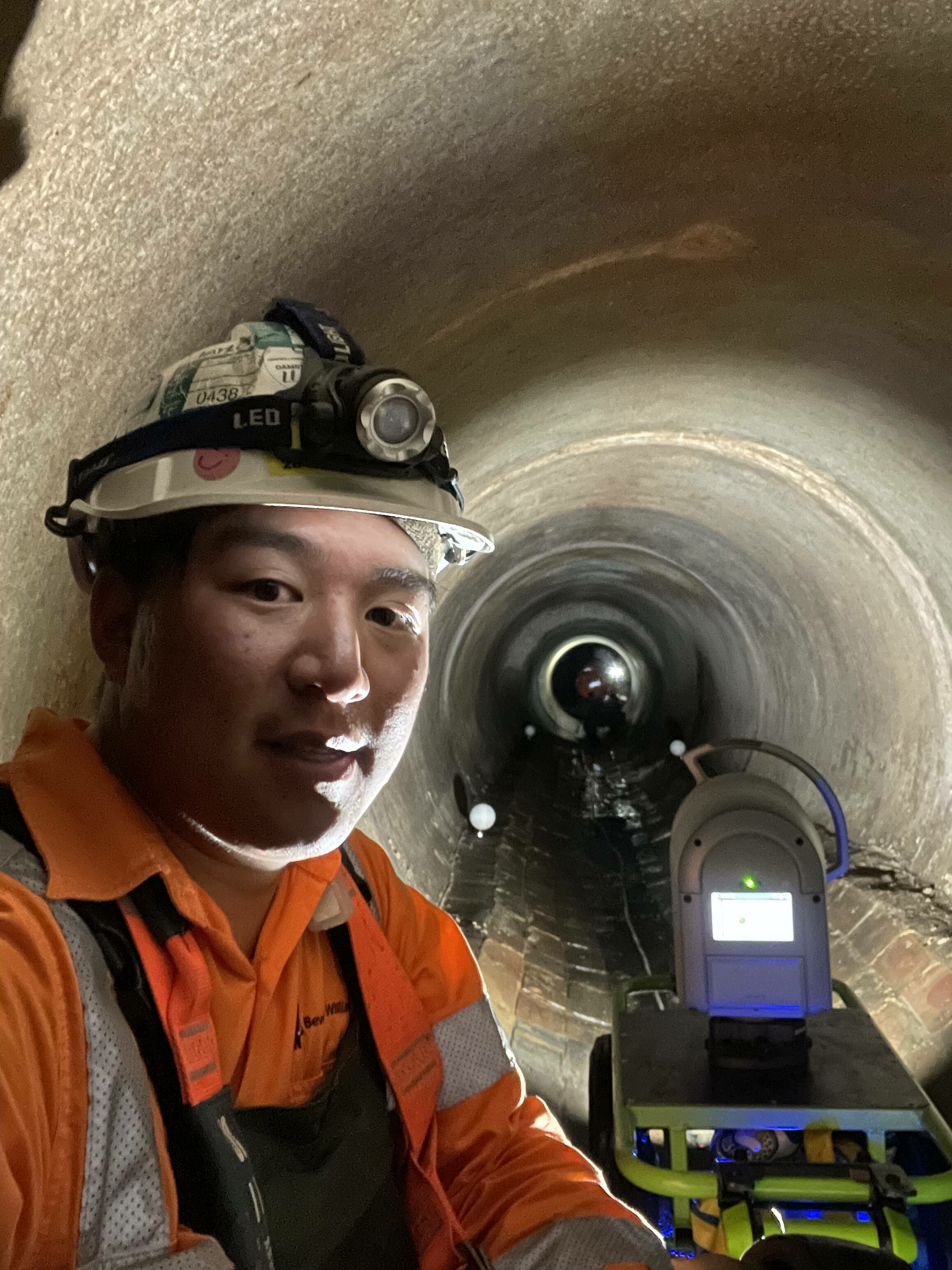
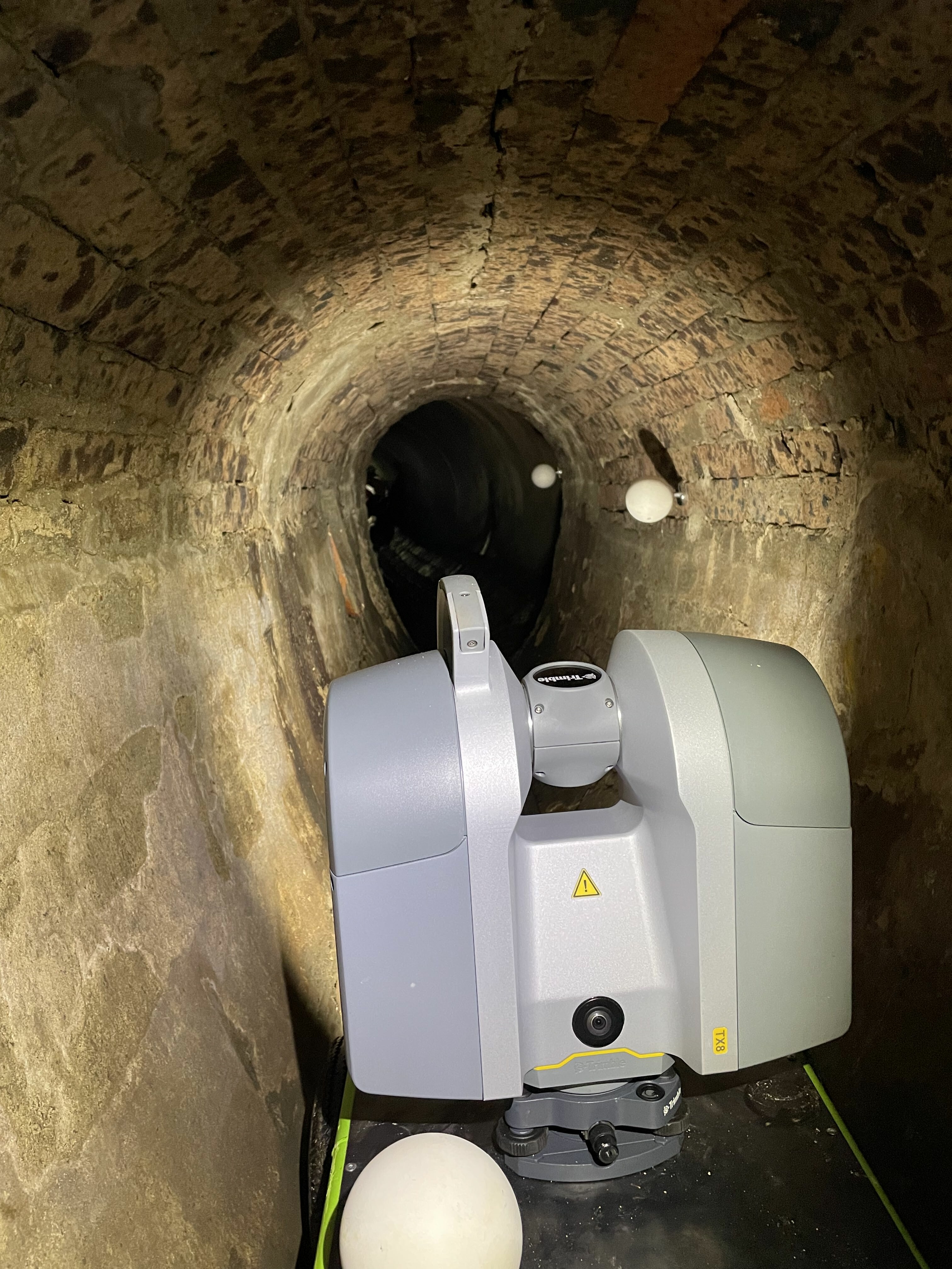
A team of eight highly qualified subsurface and surveying staff provided survey data and advice to ensure the design of a new building in the CBD fitted within the precinct boundaries. A key aspect of the project was providing accurate information to evaluate the impact on below-ground heritage structures (such as tank stream and sewer) and other below-ground surfaces.
Work Underaken
- 3D scan of the 3D Scan of heritage culvert, providing point cloud + modelling of culvert alongside the Sydney Water sewer mains. Fabrication of a buggy to mount the scanner.
- Management of key stakeholders, including Sydney Water, Council and surrounding businesses.
- Full boundary and control point search through NSW Land Registry Services and Spatial NSW. Provided control points for Subsurface Utility Investigation work.
- Located all surface detail and reduced levels to Australian Height Datum. Located below ground pedestrian walkways to Wynyard Station + boundaries and easements for all properties within and around the development.
- Qualified CAD operators prepared plans in 2d and 3d TIN models + point cloud delivered by 3D modelling team.