Project Overview
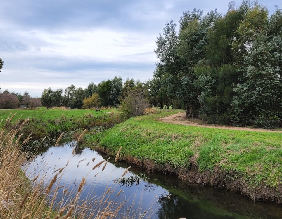
Waters Edge Estate is located on the outskirts of the Miners Rest township. It is well situated for infill residential development where the land use transitions from farming to residential zoned land.
The site is being developed with over 400 residential lots combined with integrated commercial and mixed-use zone land across multiple stages, with the first stage of 67 lots being delivered in 2025.
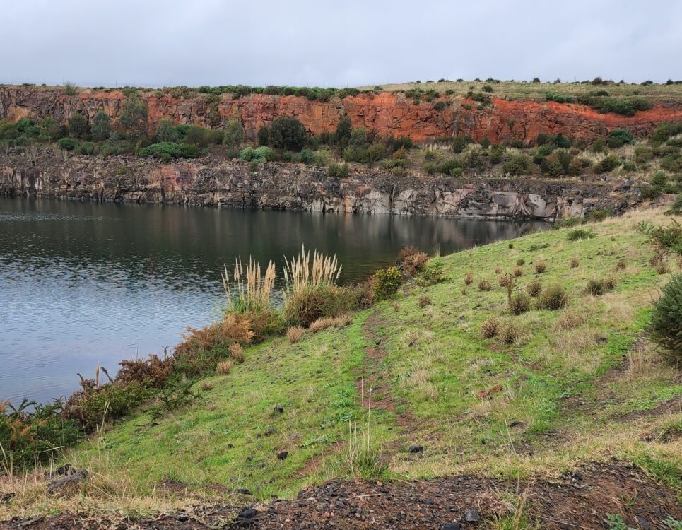
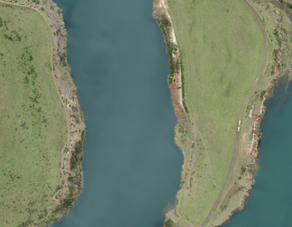
From its inception, the constraints around steep slopes, large dams from previous quarry activities, stormwater management, cultural heritage, environmental concerns, the requirement for road closure and new road links, and a changing landscape around strategic planning for the township were identified and actively managed.
A number of complex and intersecting issues are being addressed to deliver a unique and diverse development.
Work Undertaken
The master planning phase engaged consultants to investigate flora and fauna, develop a landscaping and vision, undertake feature survey and title re-establishment work, complete a servicing strategy for the delivery of sewer and other services, along with a functional design of wetland areas, and undertake strategic planning work.
Salvage management was required to meet the requirements regarding cultural heritage sensitivity, prompting the development of an indicative subdivision plan, further engineering design investigations, and a construction cost estimate.
Strategic planning work was undertaken to advocate for the site during the City of Ballarat’s development of the Miners Rest structure plan and to manage simultaneous planning and re-zoning applications. As a result of this, more detailed urban design, engineering design, traffic impact assessment and additional environmental and soil assessment work were undertaken to support these activities.
Following on from the issue of a planning permit, detailed design was undertaken for stage 1 works, along with work required to deliver the first 67 residential allotments. This included closures of unmade government roads that bisect the site, including engagement with DEECA and creation of gazettal plans, detailed design of reticulated services, flood modelling and additional feature and level survey to support this work, VCAT appeal work, planning permit amendments, development of an environmental management plan, landscape concept design, completion of a boundary plan and plan of subdivision.
A high level of ongoing project management is required to coordinate and integrate these services, facilitating progress for this development.


